Ecosystem Mapping in Manning Park

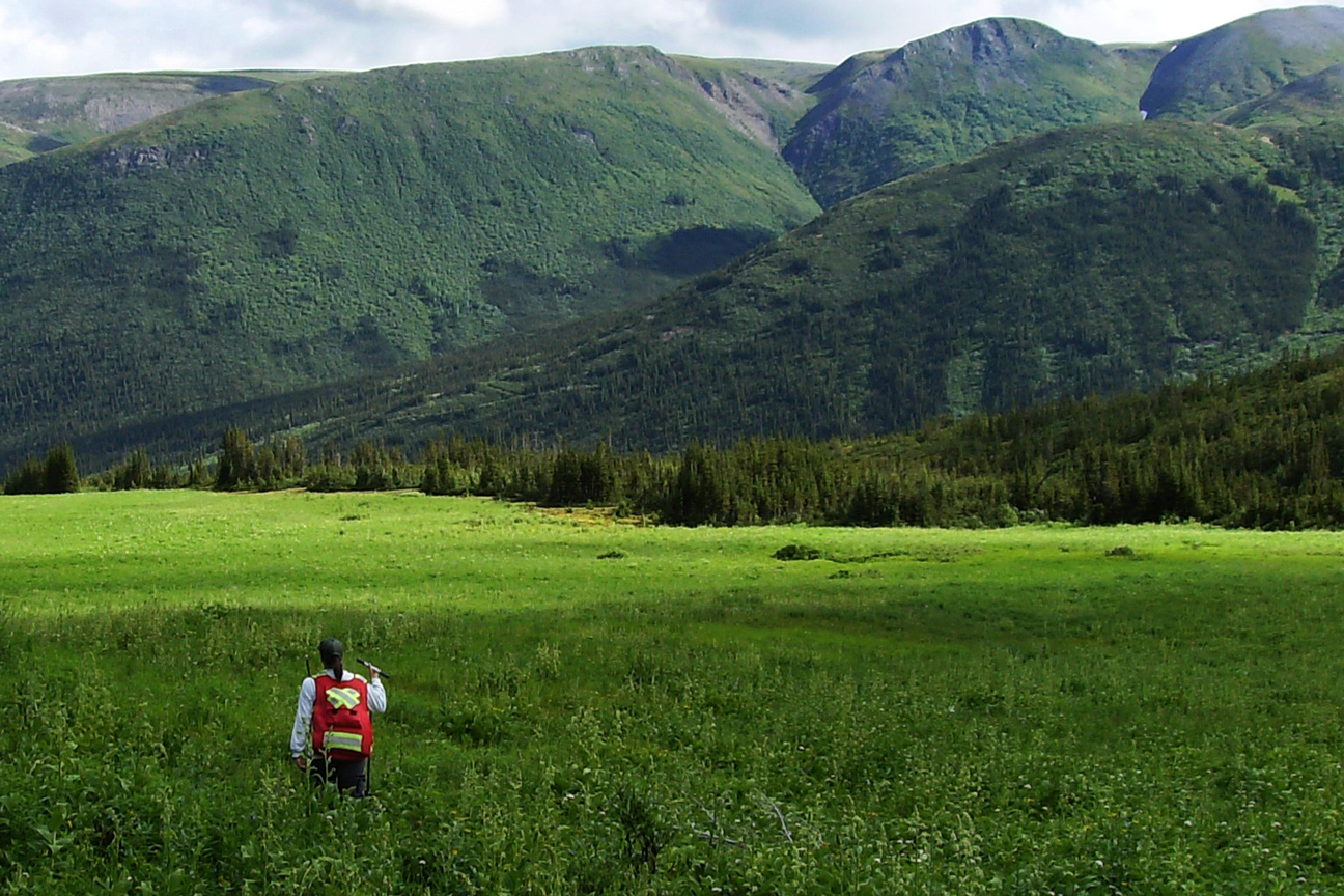
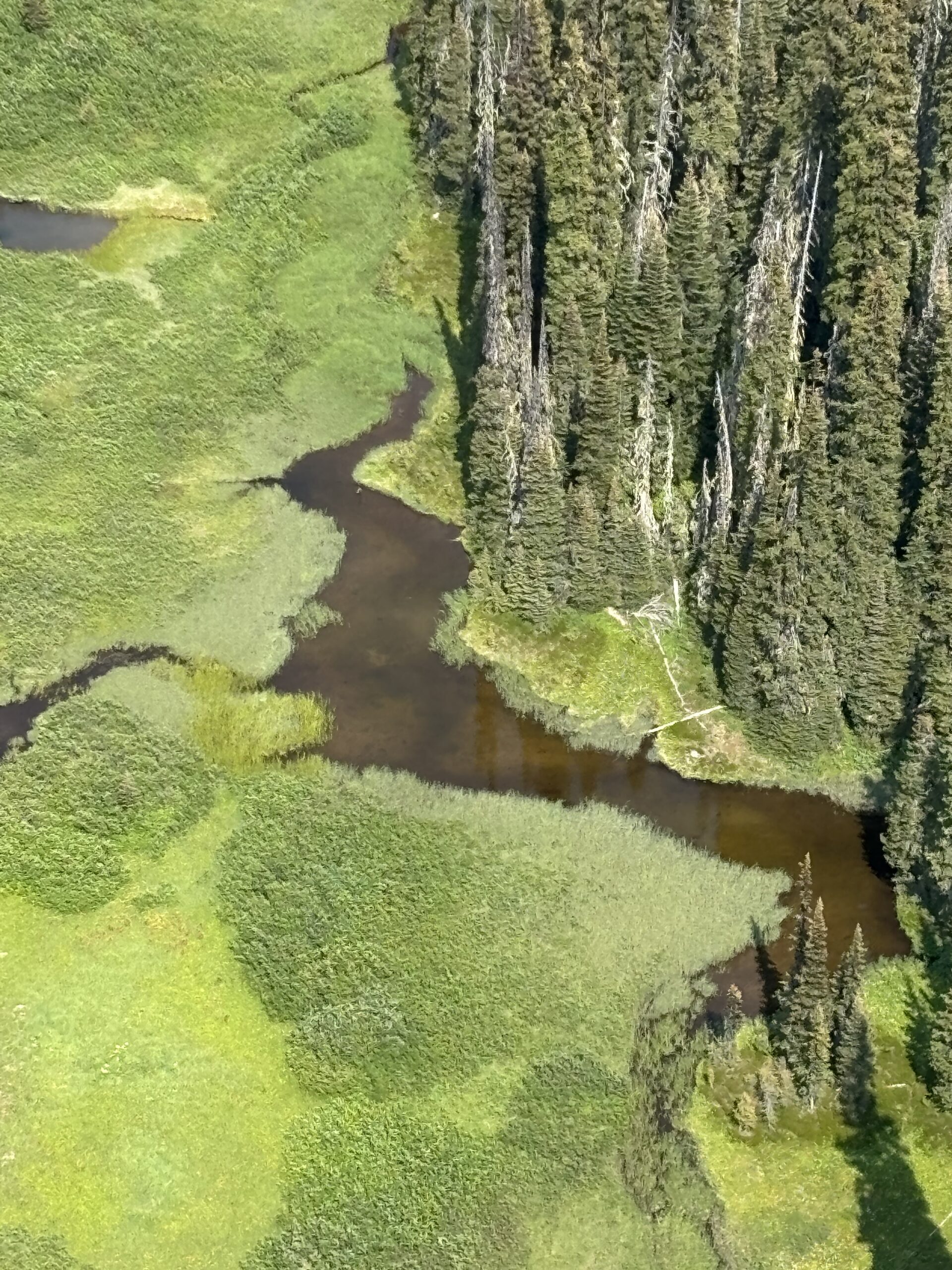
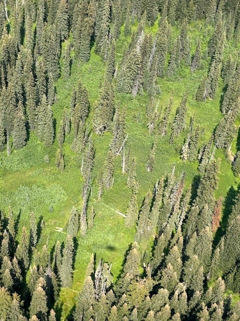
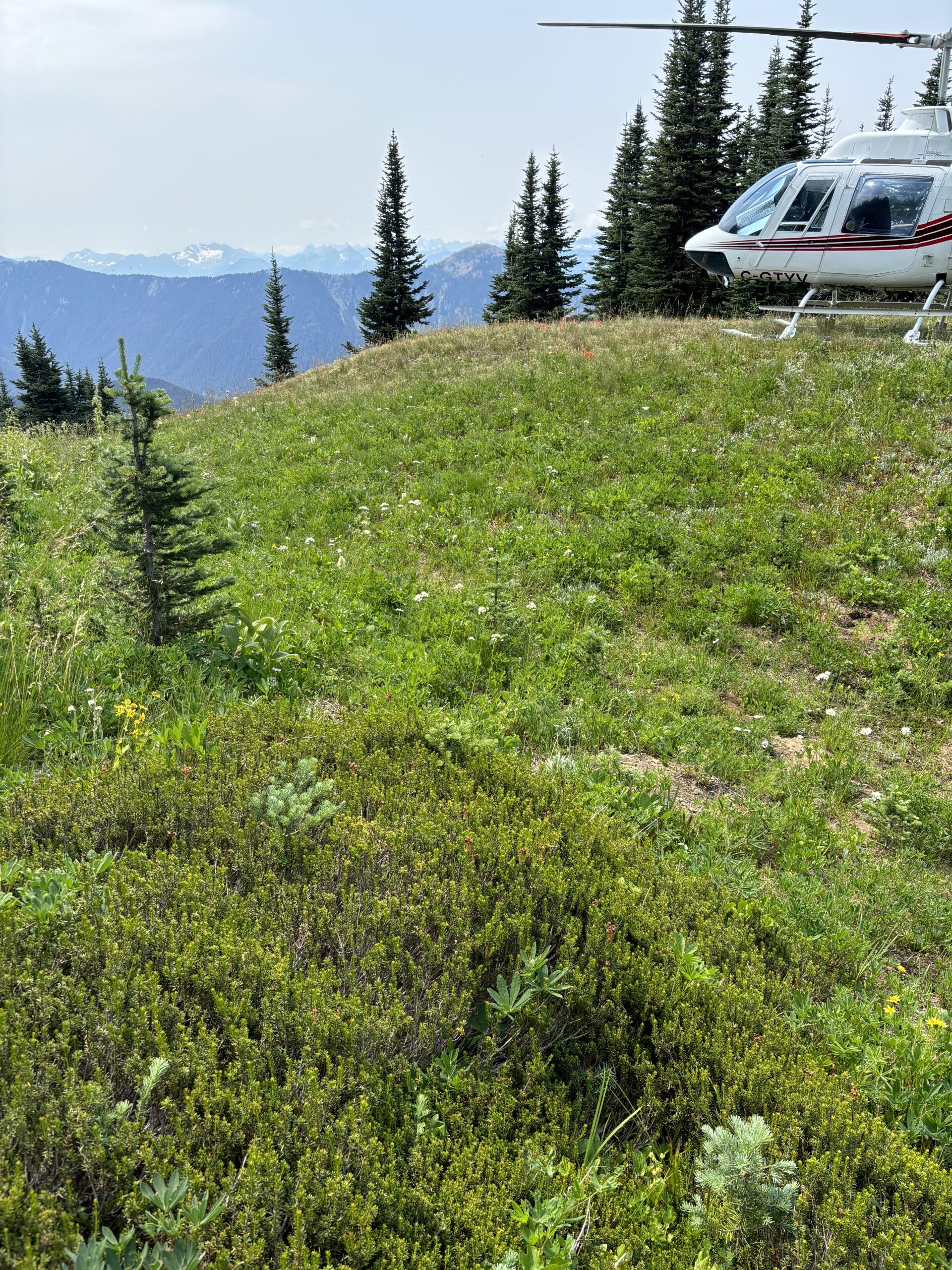
The Manning Park Terrestrial Ecosystem Mapping (TEM) project is a collaboration between BC Parks and the Ministry of Water, Land and Resource Stewardship (WLRS), designed to provide detailed, standardized information about the park’s ecosystems. Started in 2019, the project has mapped different sections of the park in phases, with field verification in 2019, 2023, and 2024. Field crews accessed areas via both trails and helicopter to reach a wide variety of terrain and ecosystems. The mapping includes detailed information on ecosystem types, site conditions, and disturbances, helping land managers understand the full ecological complexity of the park.

The project now covers over 21,000 hectares, including core areas of Manning Park, adjacent protected lands, and ecologically connected unprotected areas. This represents a significant expansion of mapped areas, improving the overall understanding of the park’s ecosystems. With this work, 61% of Manning Park now has fully attributed ecosystem data, providing a strong foundation for conservation, land management, and planning initiatives that help protect the park’s natural heritage for future generations.

Project Information

Client:

BC Parks and the Ministry of Water, Land and Resource Stewardship (WLRS)

Location:

Manning Provincial Park

Date:

2019-2024

BC Parks: Manning Park