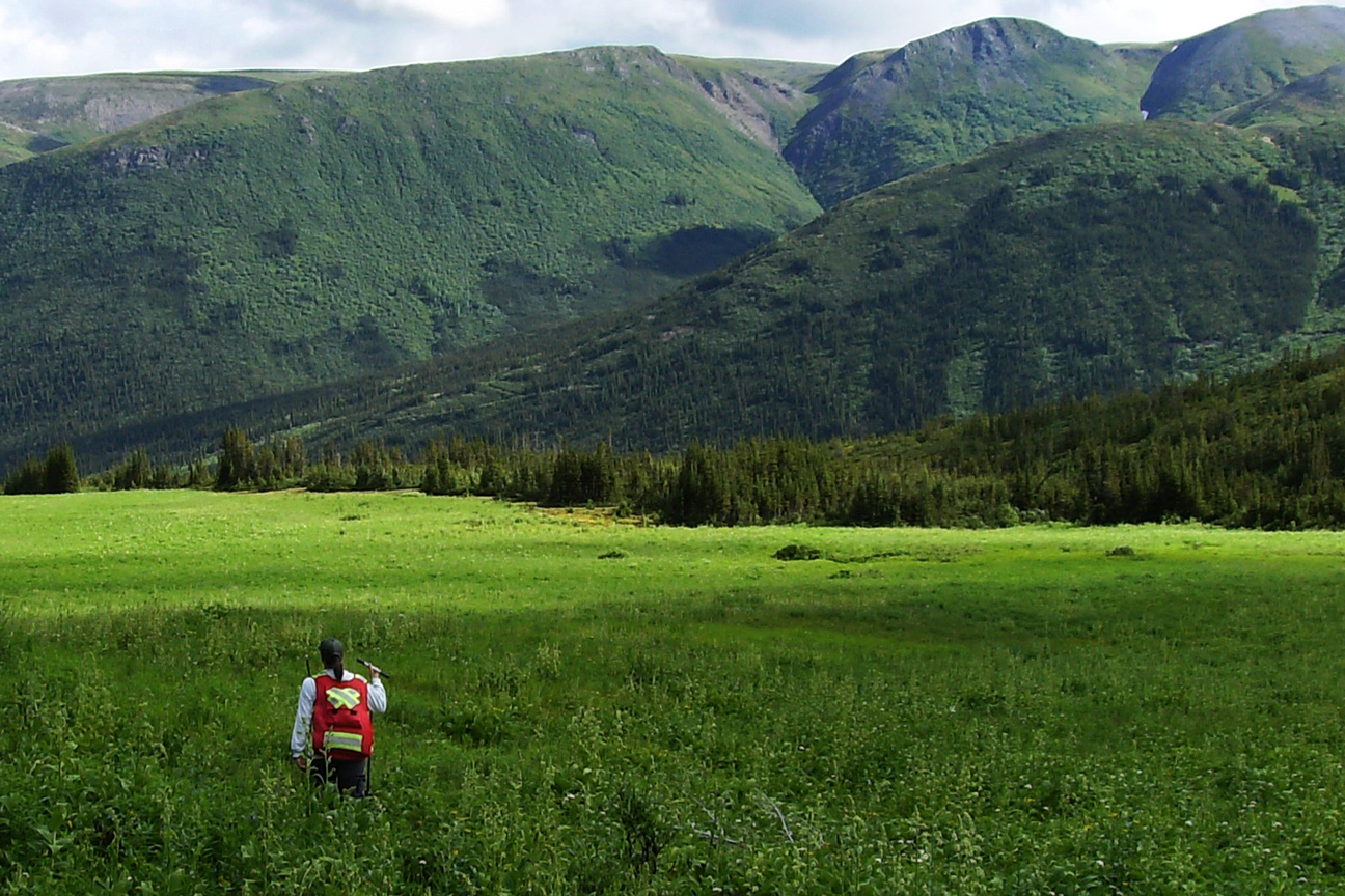
Anna Jeffries, BA, is a Senior GIS Analyst with over 16 years of experience supporting environmental planning and resource management through high-quality spatial analysis and cartographic products. Since joining Madrone Environmental Services in 2009, Anna has played a central role in delivering complex GIS solutions for terrestrial ecosystem mapping, watershed assessments, wildlife habitat modeling, and environmental assessments across British Columbia and the Yukon.
Anna is highly experienced with ESRI’s ArcGIS Pro, ArcMap, and 3D mapping software such as Summit and PurVIEW. She applies automation techniques, including Python scripting and ModelBuilder, to improve data processing efficiency and consistency across projects. Anna is known for her thoughtful cartographic design, and she develops company-wide map templates and symbology libraries to support standardized, professional outputs. She provides essential GIS support for field staff, including field data systems and pre-field preparations using mobile applications such as Survey123 and Field Maps.
Collaboration is a key part of Anna’s approach. She works closely with multidisciplinary teams (biologists, agrologists, hydrologists, and project managers) to ensure spatial products are not only technically accurate but also practical and relevant. She mentors junior staff, shares technical resources, and supports internal training to help build capacity within the GIS team.


