
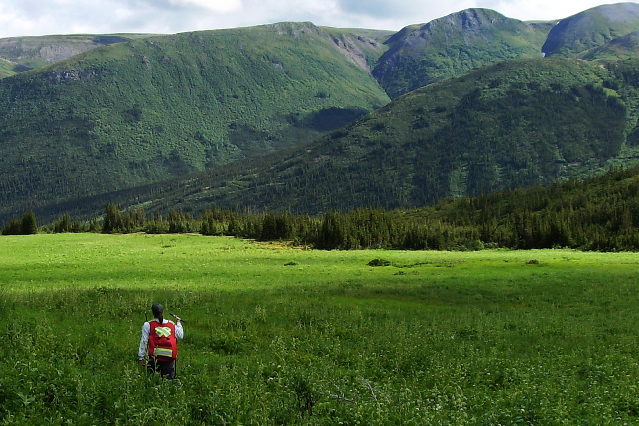
Richard is a GIS Analyst with a B.Sc. in Geoscience and an Advanced Diploma in GIS Applications. He joined Madrone after a practicum in which he built a regional ecosystem inventory by integrating provincial datasets with Python, geoprocessing tools, SQL, and structured QA checks. Since 2023, he has supported projects spanning land-use planning, landscape reserve design, and wildlife habitat work; producing clear map products, automating summary tables, and creating time-series visualizations to communicate spatial patterns. Richard’s toolkit includes ArcGIS Pro/ArcMap, QGIS, PCI Geomatica, and Python/ArcPy; he is known for dependable spatial QA and reproducible workflows that streamline deliverables for multidisciplinary teams. When he’s not mapping, he’s often hiking trails with interesting geologic features.
Richard Tomkinson, ADGISA
Discipline: GIS & Environmental Mapping
Location: Vancouver Island
Practice Focus:
-
Map & figure production for reports and presentations
-
Geoprocessing and spatial data management (ArcGIS Pro/ArcMap, QGIS)
-
Spatial QA/QC and method documentation
-
Workflow automation (Python/ArcPy, SQL, mail-merge)
-
Field-to-map integration and data visualization (e.g., GPS/ARU datasets)